With a few days of good weather the team had a very productive time at one of our most northerly field sites, Straumsnutane.
This site is on the west side of an ice stream (a “river” of much faster flowing ice that drains ice from this part of the ice sheet), and so we want to see how the ice sheet level has changed in this dynamic area.
Read the full blog post on the MAGIC-DML website

The ice stream from the air – the cracks are crevasses that open up because of tension (pulling apart) in the ice as it moves. Photo: Jon Harbor

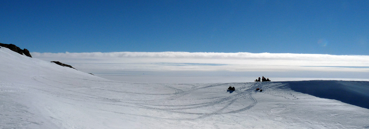
The same ice stream from the ground. Photo: Jon Harbor

Sarah sets up the GPS base station. Photo: Jon Harbor

Our camp. Photo: Jon Harbor

One tent is a meeting room, and the other is the bathroom. Photo: Jon Harbor

Much of our time is spent walking along ridges of rock that stick up from the ice. Photo: Jon Harbor

Looking for evidence of past times when the ice was thicker and flowed over the ridge (e.g., striations or erratics). Photo: Jon Harbor

We use a hand lens (a small magnifying glass) to check the rock carefully to see if it has the right minerals in it for the laboratory analyses we want to do on rock samples and take lots of notes. Photo: Jon Harbor

We are really happy when we find a large piece of quartz-rich material in the rock, as this makes for the very best samples! Photo: Jon Harbor