Permafrost mapping
- 20 March 2012 - 25 March 2012
- Tavvavuoma
- 1 cruise report
- 0 blog post
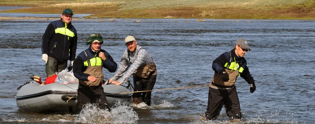
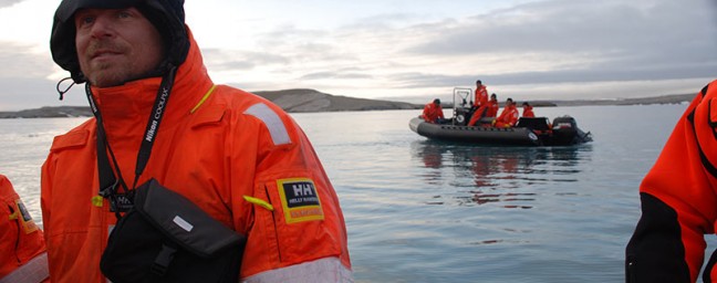
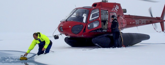
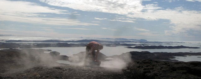
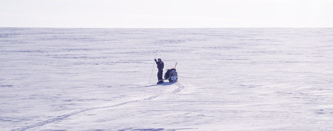
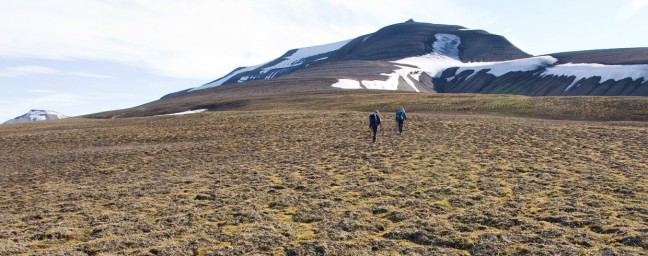
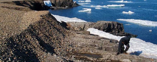
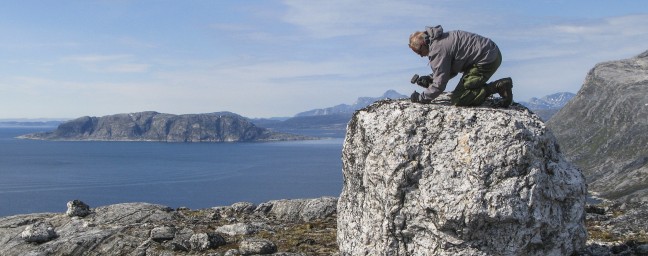
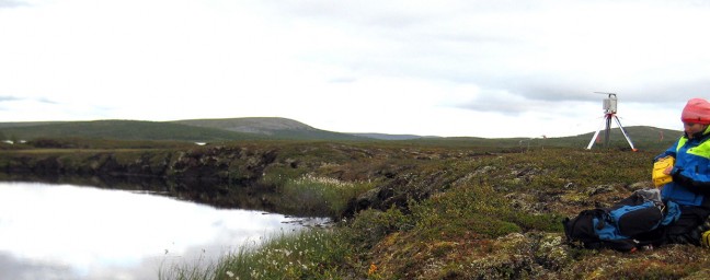
Mapping permafrost using ground penetrating radar to validate hydrological modelling of permafrost extent.
Explore the expedition